Port Technology —
by Captain John Holmes
 Captain Holmes discusses how ports must follow the Continuity of Operations Plan (COOP) guidelines laid out by Federal Emergency Management Agency (FEMA) for the assurance of business continuity at US ports, given their critical role in the national security and economy. The most frequently asked questions when preparing a COOP is ‘where?’: ‘where is the damage?’; ‘where shall we evacuate staff to?’; ‘where is the master valve we need to shut off?’; ‘where shall we relocate operations to?’; or ‘where will we need to rebuild?’
Captain Holmes explains that the question of ‘where?’ is best answered with spatial information from geospatial software and data such as geographic information systems (GIS) software, satellite and aerial imagery, and image analysis software, computer-aided drafting (CAD), AIS and radar for vessel tracking, computer-aided dispatch and records management (CAD/RMS) software, command and control (C2) and physical security information management (PSIM) software, computerised maintenance management systems (CMMS), and others.
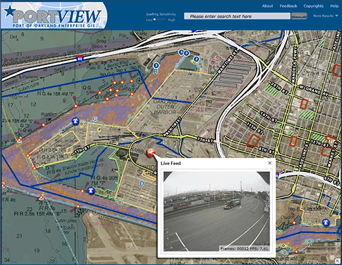
He then highlights how the geospatial implementations at the Ports of Los Angeles, Tacoma, Long Beach, Oakland and Stockton are addressing the needs of ‘where’ and more.

 Enesgy