Maritime Gateway —
by Daniel Elroi and Chief George Lerner
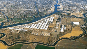
 What happens when a small river port like the Port of Stockton gets classified as a high-risk critical infrastructure by a national security risk model? And how does a port in response to this assessment cope with the need to rapidly ramp up its security stance and implement a wide variety of the latest technologies in an otherwise out-of date technology environment? And how do geospatial technologies aid in accomplishing these goals across the entire enterprise?

 Enesgy